Geography of Alaska
Land area: With 586,412 square miles, or about 365,000,000 acres, Alaska is the largest state in the union and; one-fifth the size of the lower 48 states.
Area per person: Approximately .91 square mile per person.
Diameter: East to west, 2,400 miles; north to south, 1,420 miles.
Coastline: 6,640 miles, point to point; as measured on the most detailed maps available, including islands, Alaska has 33,904 miles of shoreline. Estimated tidal shoreline, including islands, inlets and shoreline to head of tidewater, is 47,300 miles.
Adjacent salt water: North Pacific Ocean, Bering Sea, Chukchi Sea, Arctic Ocean.
Alaska-Canada border: 1,538 miles long; length of boundary between the Arctic Ocean and Mount St. Elias, 647 miles; Southeast border with British Columbia and Yukon Territory, 710 miles; water boundary, 181 miles.
Geographic center: 63° 50' north latitude, 152° west longitude, about 60 miles northwest of Mount McKinley.
Northernmost point: Point Barrow, 71° 23' 25" north latitude, 156° 28' 30", west longitude.
Southernmost point: Tip of Amatignak Island, Aleutian Chain, 51° 15' 44" north latitude, 179° 06' 31" west longitude.
Easternmost and westernmost points: The easternmost and westernmost points depend on whether you look at it from the global geographic perspective considering the longitudinal meridians, or just west=left, east=right.
The 180th meridian, (halfway around the world from the Prime Meridian at Greenwich, England) is the global dividing line between all eastern and western longitudes and happens to pass through Alaska's Aleutian Island chain. That means, when taking the global geographic perspective, Alaska has both the easternmost and westernmost spots in the entire country! The piece of land with the most westerly longitude is Amatignak Island at 179° 06' 31" west, just shy of the 180th meridian. Only 70 miles away, in a westerly direction but on the other side of the meridian, is Pochnoi Point on Semisopochnoi Island, with the most easterly longitude of 179° 46' east.
The chain continues in a westerly direction for approximately another 300 miles to Cape Wrangell on Attu Island, which is the farthest piece of land that one can travel to in a westerly direction in the state. If one is facing north and not considering the global longitudinal lines, this would be considered the farthest western point in the state. Looking to the right, to the east, and using the same criteria of not considering the global longitudinal lines, the farthest eastern point in the state is near Camp Point in southeastern Alaska.
Tallest mountain: Mount McKinley, at 20,320 feet, is the tallest mountain in North America. Alaska has 39 mountain ranges containing 17 of the 20 highest peaks in the United States.
Largest natural freshwater lake: Iliamna, with 1,150 square miles. Alaska has 94 lakes with
surface areas of more than 10 square miles among Alaska's more than 3 million lakes.
Longest river: Yukon, with 1,875 miles in Alaska and 2,298 total. There are more than 3,000 rivers in the state. The Yukon River ranks third in length of U.S. rivers, behind the Mississippi and Missouri rivers.
Largest island: Kodiak, in the Gulf of Alaska, with 3,588 square miles. There are 1,800 named islands in the state, 1,000 of which are located in Southeast Alaska.
Largest glacier: Bering Glacier complex, with 2,250 square miles, includes the Bagley Icefield. Ice fields cover about 5 percent of the state, or 29,000 square miles.
Largest city in population: Anchorage, population 250,006 (1994 estimate).
Largest city in area: Sitka, with 4,710 square miles, 1,816 square miles of which are water. Juneau is second, with 3,108 square miles, part of which is ice field. (http://www.alaska.gov/kids/learn/aboutgeography.htm)
|
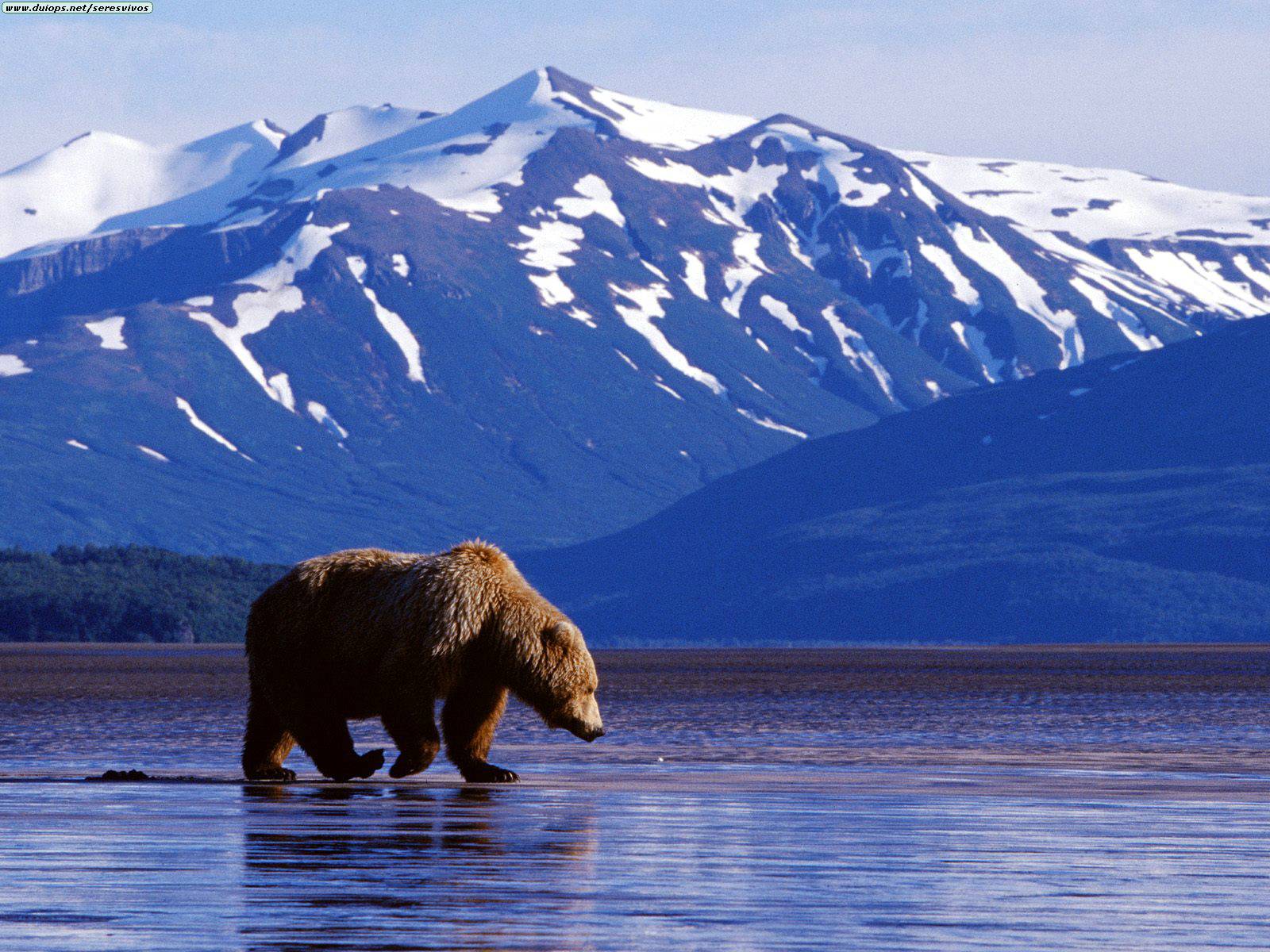
Alaskas physical setting is beautiful and much better captured by video. Below is a YouTube link to view the land:
http://www.youtube.com/watch?v=HnzEZQ0p_Ao
No comments:
Post a Comment